

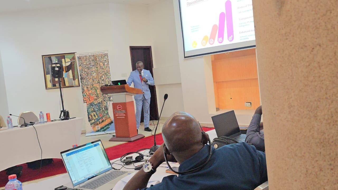

The National Boundary Commission has taken a major step forward in modernizing Ghana’s border security architecture with the deployment of drones and advanced geospatial mapping technologies aimed at enhancing international boundary management.
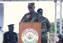
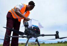
According to the Commissioner-General of the Ghana Boundary Commission, Brigadier General Anthony Ntem, the newly introduced drone systems will provide the Commission with the ability to capture centimetre-level accurate data, enabling the creation of high-resolution, three-dimensional digital models of Ghana’s borders.
He described the innovation as a way of building a “digital twin” of the country’s boundary lines an advanced tool that will support more precise monitoring, mapping, and dispute resolution.

The two-day orientation workshop, which initially began as a basic introduction to drone use in boundary operations, evolved into what participants described as a shared journey of discovery, collaboration, and hands-on skill-building.
Officials, technicians, and representatives from various institutions engaged in practical sessions that covered drone handling, data collection, mapping integration, and the interpretation of geospatial imagery.
In his address, Brigadier General Ntem stressed that boundary management across much of Africa has long relied on outdated methods that are slow, labour-intensive, and vulnerable to human error.

He noted that paper maps deteriorate easily, ground surveys often take weeks to complete, and navigating dense terrain across the subregion remains a major challenge for field teams.
These limitations, he said, have frequently slowed down demarcation efforts and complicated border monitoring activities.
“Modern technology offers us a faster, more accurate, and more reliable way of understanding and managing our borders,” he emphasized.
The Commissioner-General further revealed that the Ghana Boundary Commission intends to broaden the training programme to benefit more institutions and experts beyond Ghana.
He said the Commission is preparing to offer intensive regional training sessions for interested participants from across the continent, covering not only drone operations but also a range of modern tools essential for international boundary management—including digital mapping systems, geospatial analysis, and advanced survey technologies.
The Commission believes that integrating drones and high-end geospatial tools into boundary work will significantly boost border security, improve the accuracy of boundary demarcation, and support peaceful coexistence among neighbouring countries.
Officials say the technology will also enhance early detection of encroachment, illegal activities, and environmental changes along boundary lines, enabling faster and more informed responses.
The initiative forms part of Ghana’s broader efforts to modernize public-sector operations through digital transformation and to position the country as a leader in innovative and peaceful boundary management across Africa.