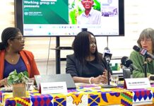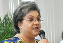


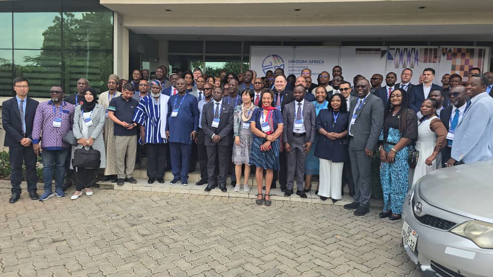

Ghana has opened the joint AfricaGIS 2025 and the 11th United Nations Global Geospatial Information Management for Africa (UN-GGIM: Africa) conference in Accra with a strong call for greater investment, policy reforms, and collaboration to advance the continent’s use of geospatial information.
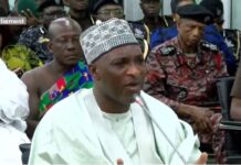
Speaking at the opening ceremony, the Deputy Minister for Lands and Natural Resources, Alhaji Yusif Sulemana, said Ghana is committed to building a data-driven national system anchored on the newly developed National Geospatial Policy and the country’s forthcoming National Spatial Data Infrastructure (NSDI).
He described the gathering as an important moment for African countries, noting that despite the rapid growth of geospatial tools, many governments still make critical decisions without dependable or compatible location-based data.

“For three decades, AfricaGIS has shaped capacity, influenced policy, and shown what is possible,” he said. “But the continent’s geospatial potential remains largely untapped. This week is a call to action, moving from possibilities to deliverables.”
Mr. Sulemana explained that Ghana’s National Geospatial Policy, which aligns with the United Nations Integrated Geospatial Information Framework (UN-IGIF), seeks to harmonize the production, management, and sharing of spatial data across government and private institutions.
He added that although the NSDI is still under development, it is expected to enhance openness, improve data quality, and support evidence-based decision-making across public agencies.
The Deputy Minister urged African governments and development partners to invest in training and long-term financing, warning that Africa cannot continue to rely on fragmented efforts or short-term projects.

The Chair of the UN-GGIM: Africa Executive Board, Mr. Clinton Heimann, noted that more African countries are increasingly taking part in regional geospatial programmes. He described the progress as steady and essential for the continent’s digital transformation.
Mr. Heimann emphasized the need to elevate local expertise particularly young professionals who are involved in surveying, mapping, land administration, and the practical work behind national datasets.
“We need your stories, your lessons,” he said. “Africa is different from anywhere else. We must build the base strong and get more young faces involved.”
The Director of the African Centre for Statistics at the United Nations Economic Commission for Africa, Mr. Samuel Kobina Annim, urged African countries to adopt data systems that integrate geospatial information with other sources such as mobile data, citizen-generated data, and administrative records.
He noted that Africa cannot effectively tackle poverty, food insecurity, and gaps in social protection without linking geospatial tools to timely evidence.

Mr. Annim stressed the need to strengthen not only human capacity but also the institutional systems that support data production and use. He called for geospatial data to be made more accessible so researchers, policymakers, and citizens can apply it to planning and public accountability.
The President of the African Space Agency Council, Dr. Tidiane Ouattara, challenged African countries to move beyond dialogue and implement concrete actions.
He observed that Africa’s land and marine resources remain poorly monitored and often exploited by external actors because many countries lack full sovereign control over their geospatial information.
“Geospatial intelligence gives us sovereignty, the ability to say yes or no with our own conscience,” he said.
Dr. Ouattara added that although Africa’s population represents a vast market for geospatial services, only a small share of revenue from the global space economy stays on the continent. He urged governments to treat geospatial capability as a productive sector one that can generate value just like cocoa, coffee, or cotton.
He also encouraged African nations to deepen collaboration with one another and with the private sector to strengthen national geospatial programmes.
The conference last hosted by Ghana in 1999 brought together government agencies, universities, private companies, development partners, and students to discuss Africa’s geospatial future.
This year’s theme, “Harnessing Geospatial Intelligence for Africa’s Sustainable and Resilient Future,” reflects the continent’s growing recognition of geospatial information as a critical tool for development, climate resilience, urban planning, and natural resource management.
The week-long event is expected to produce new commitments, partnerships, and technical pathways to support Africa’s transition toward a more data-driven future.